

Safer urban roads for cyclists


If we want to cycle safely and bicycle to become a dominant transportation system in our 15-minute cities, we need to change. This means we should do the same as we did for road safety with seat belts or speed limits. All the innovations up to the driving license with penalty points have led to a very significant decrease in accidents, thanks to a mix of solutions: road safety, proper driver behaviour and road conduct, and vehicle modification. It is therefore important to consider all components. The patent of the Politecnico di Milano “Method for processing navigation information for road traffic” is an innovation designed to be a part of the change towards the safety of all bikers in urban areas.
The idea
If we want to cycle safely and bicycle to become a dominant transportation system in our 15-minute cities, we need to change. This means we should do the same as we did for road safety with seat belts or speed limits. All the innovations up to the driving license with penalty points have led to a very significant decrease in accidents, thanks to a mix of solutions: road safety, proper driver behaviour and road conduct, and vehicle modification. It is therefore important to consider all components. The patent of the Politecnico di Milano “Method for processing navigation information for road traffic” is an innovation designed to be a part of the change towards the safety of all bikers in urban areas.

Indeed, the urban context usually includes complex configurations of streets and many intersections: streets that intersect in a thousand different ways, roundabouts, several streets converging into the same point, street articulation, i.e., the positioning of streets at different angles that make visibility impossible, and obstacles or elements that aggravate the situation, e.g., parked cars. All these increase the potential accident rate in urban areas.
How it works
A system was studied based on the idea of evaluating the number of connections and intersections along a given route, and capable of calculating (using an algorithm) and displaying the user the hazard index of the road he/she is traveling. The conflict points construction mechanism for each intersection enables to evaluate the danger level of bicycle crossings.
For example, in Milan a typical street has two sides, both with two-way traffic, with a tramway lane in the middle. This means that there is an X number of conflict points; therefore, when you make a turn or cross the street, there are many points of extreme hazard, such as roundabouts or non-orthogonal junctions, with incident angles that are almost parallel and which cannot be seen… The device combined with a traffic monitoring system produces two data, i.e., the actual danger level and the variable traffic index, thus giving a complex index that really tells you what awaits you along your cycling route. So now we have a system specifically designed for bicycles that can be extended to electric bikes, electric scooters, scooters and motorcycles.

The patent consists of a demonstrated proof, an experimental element and the navigator with three gradient colours. Just like in Google, colours are used to display the danger index of the intersection you are approaching, which is calculated based on your movement speed: green means low risk, orange medium risk, red high risk red… The system functions as a warning system rather being a mere navigation system. This is a physical device, a sort of compass on your handlebar, a real prototype.

From the physical to the virual device
The patent covers the algorithm that controls the information you enter in the physical device placed on your bike handlebar. The device is used as a digital interface, so it is no longer a physical device: it is a digital one. Data processing is the same as that of the physical device and the digital display has the same functions as the physical one; the difference is that we do not need to manufacture it physically and it is already available to everyone.
There is a working prototype, a proof of concept showing that this type of mechanism generates this connected risk index, on which a real programming should be built to make the device a functional solution to all intents and purposes.
The idea is that the patent can be licensed to someone who wants to make a digital mask for current navigators and navigation systems for bicycles. This means combining material physical experimentation and a concrete device, but by patenting the algorithm. What we are trying to do is to transfer the patent for creating the hazard calculation mechanism and therefore have an additional layer to be added to current navigation systems. Just like the one that alerts you of the presence of speed cameras, the navigator could have a “bicycle switch” which uses route calculation to increase the safety level, suggesting routes that are less efficient and perhaps longer but are safer, thus minimising the risk of an accident.
Benefits
Benefits extend to a set of technical components that concern safety. The system works regardless of road or weather conditions. Furthermore, it uses the geometry of the road to calculate a risk index of the street the biker is approaching, and then perfects it by integrating data on external factors.

Related stories
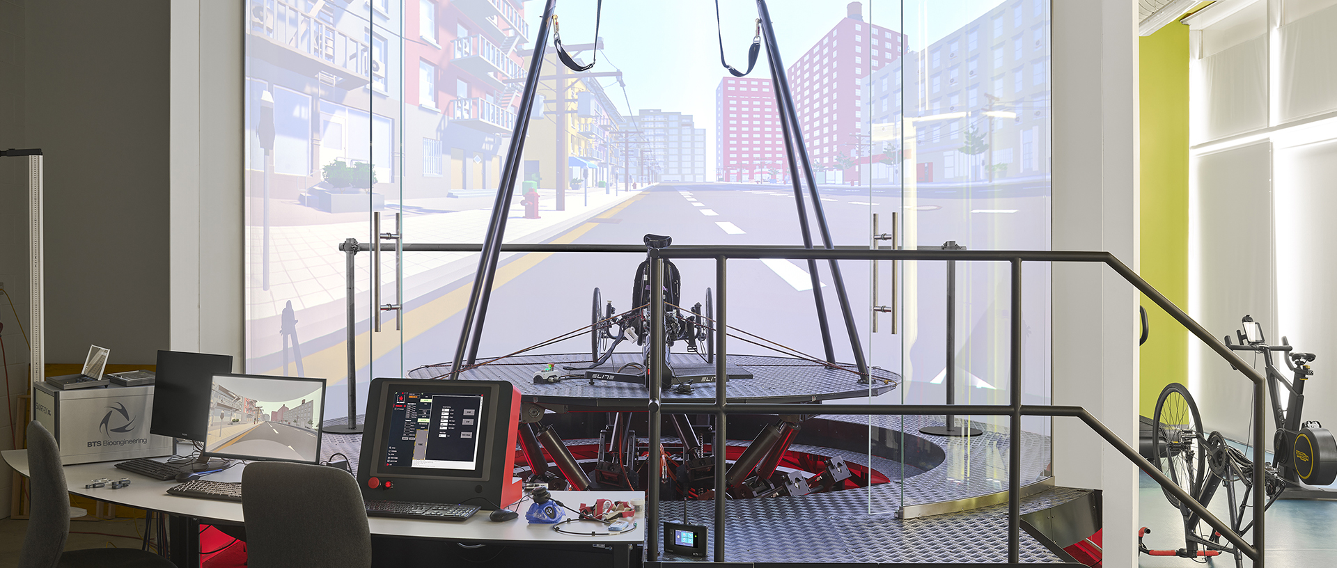
Bobsleigh, bicycles, wheelchairs and feet: Lecco’s HexaLab is the world’s most advanced multi-sport simulator
The HexaLab at the Lecco Campus is based on the “human-in-the-loop” approach, whereby a human operator can control the simulator and physically interact with the equipment and the “simulated” environment around them

The History of the Gliding Centre: How Aeronautics Conquered the Politecnico di Milano
From a wood and canvas workshop, a school will be born that will mark the Italian aeronautics

Which mobility for the future? One… that’s been tested in the Anechoic Wind Tunnel
Alex Zanotti and Donato Grassi show us a unique structure in Italy in the academic field

Touring Italy’s UNESCO sites by bike: the “E-scapes” Observatory’s mapping
Allowing different speeds to coexist, in order to promote a slow tourism in “middle areas” – with Andrea Rolando

Where VENTO blows: Italy cycling towards change
From Turin to Venice at a slow pace. Paolo Pileri tells us about VENTO, an idea of the future that has the courage to slow down.
You might also like
Beyond true and false: recognising synthetic content in the age of AI
From cloned voices to deepfakes, the challenge is no longer just to distinguish what is true from what is false, but to understand how content has been produced, transformed and used.
Building in Balance
Matteo Scagnol and Sandy Attia of MoDus Architects discuss an architecture shaped by the tension between landscape and infrastructure, rules and freedom, materials and climate change.

Who owns Milan? Map reveals forces reshaping the city
The financialization of the real estate market and its effects on urban development dynamics

Technology in the desert: how to map in 3D Egyptian and Roman excavations using photogrammetry
An interview with Alessandro Mandelli, a veteran for Politecnico di Milano's excavations in Egypt

Reading Maps: The Taste of Discovery
Jessica Gritti discusses the research on the Maps section of the Civica Raccolta delle Stampe “Achille Bertarelli”: from cataloguing and new international connections to the value of collaboration between universities and cultural institutions.