

Technology in the desert: how to map in 3D Egyptian and Roman excavations using photogrammetry


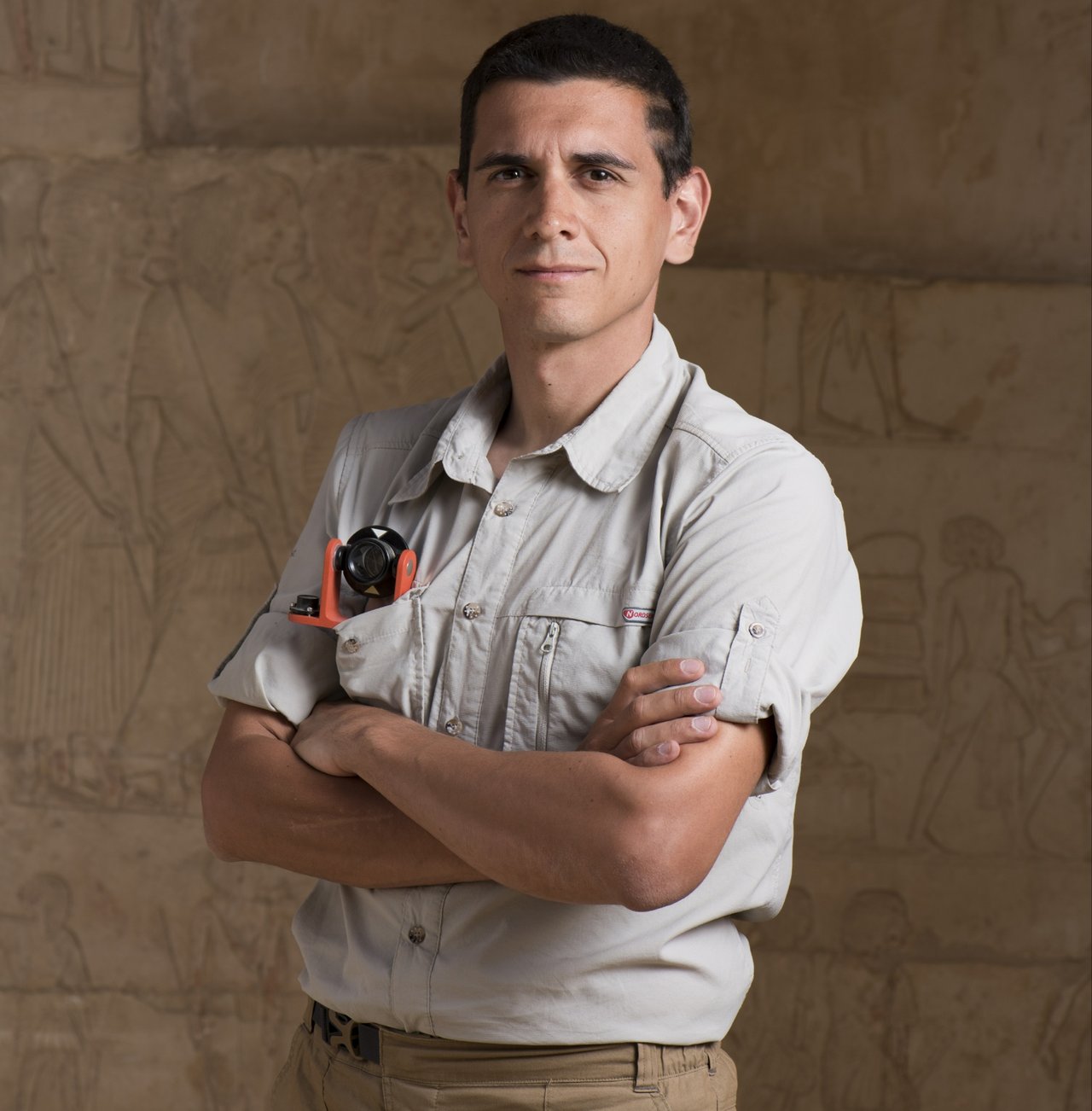
A life spent at the Politecnico di Milano. Alessandro Mandelli’s dedication to the university is matched only by the loyalty of great footballers to their team. A degree in Architecture, a PhD in Environmental and Infrastructure Engineering specializing in Geomatics, a Research Fellow and now a highly specialized second-level technician at the Department of Architecture, Built Environment and Construction Engineering – DABC, where he works in Archaeometry.
He shows the same dedication in his fieldwork as a photogrammetry expert, at the three archaeological excavations in Egypt in which the ABC Department participates: no fewer than 14 missions since 2014, and he’s the only team member to have been present on each one, providing continuity and reliability for the rest of the DABC group led by Corinna Rossi, Professor of Egyptology and Coptic Civilization, and comprising various researchers over the years, including ceramics expert Clementina Caputo.
Mandelli is in fact Technical Manager of the Eidolon Experimental Unit within the ABCLab Laboratory System. His activities include the design and coordination of topographic, photogrammetric and laser-scanner surveys and surveys using remotely piloted aircraft systems, as well as data processing and the creation of reality-based three-dimensional models of the excavations.
Among the sites where he has worked is Umm al-Dabadib, a Late Roman settlement dating from the 3rd century AD near the Kharga Oasis, in Egypt’s Western Desert. The mission originated from the ERC Consolidator Grant project “LIFE” (Living in a Fringe Environment), won and coordinated by Professor Rossi in collaboration with the University of Naples Federico II.
At Saqqara, at the necropolis of ancient Memphis, 30 km from Cairo, the DABC team supports the Italian-Dutch mission in collaboration with Museo Egizio in Turin, the Rijksmuseum van Oudheden and Leiden University.
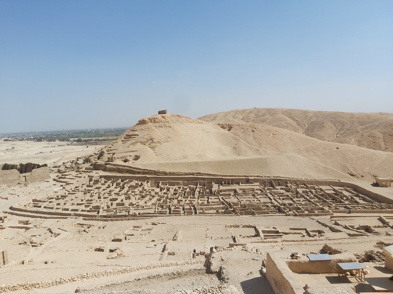
At Deir el-Medina in Upper Egypt, on the west bank of the Nile, opposite the modern city of Luxor and near the royal necropolises of the Valley of the Kings and the Valley of the Queens, as part of the archaeological mission conducted by the Institut Français d'Archéologie Orientale in Cairo, the Politecnico di Milano worked alongside Museo Egizio in Turin to survey the Tomb of Kha and Merit.
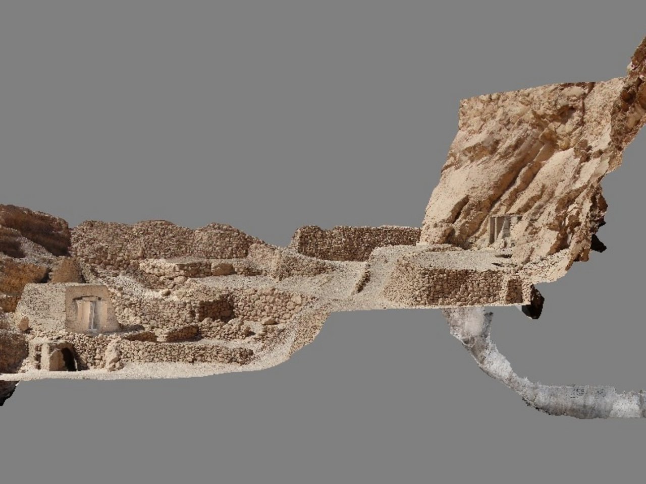
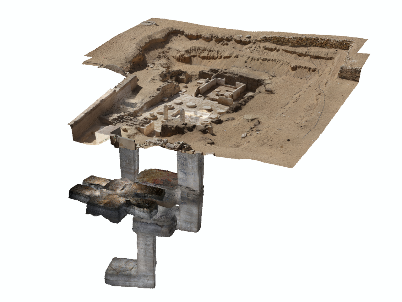
In this latter project, Alessandro Mandelli’s contribution was crucial to the 3D reconstruction of a model of the entire tomb, including all accessible and underground spaces, which became the centrepiece of a multimedia video installation that, since December 2025, has enriched the Gallery of Kha and Merit at the Turin museum, which was redesigned to mark the 120th anniversary of the tomb’s discovery.
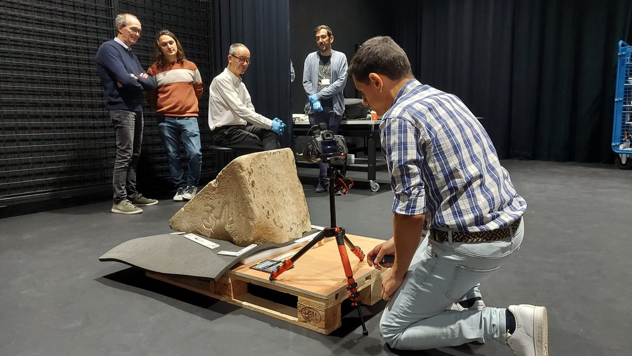
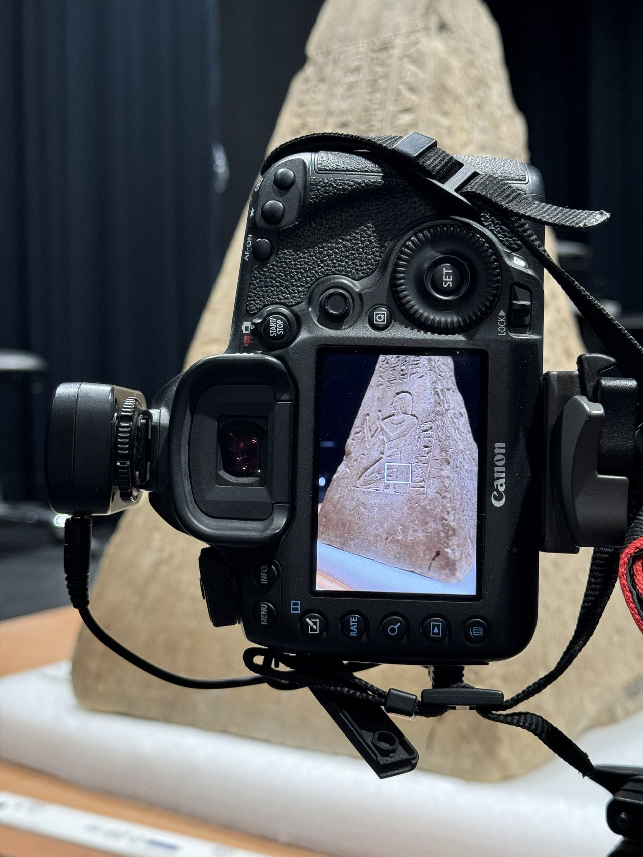
“It was exciting to work there, because it’s the tomb excavated in 1906 by Ernesto Schiaparelli and, since then, very few people have actually set foot inside it again” Mandelli told us. “The inscriptions left on the walls by the Italian archaeological mission at the time of the discovery are still there. The entire funerary assemblage is now housed at Museo Egizio in Turin, and we not only carried out the surveys in the field, but also went to the Louvre Museum in Paris to create a three-dimensional model of the pyramidion kept there. Now the three-dimensional models of both the tomb and the pyramidion, together with historical footage of the discovery, are part of a single multimedia installation in the gallery”.
What does photogrammetry involve?
Photogrammetry makes it possible to reconstruct the three-dimensional shape of an object or environment from photographs taken from different viewpoints. The principle is similar to human vision: by observing the same object from different positions, we can perceive its depth. Developed in analogue form in the early twentieth century, with the development of computers it first became analytical and then completely digital. Today we can process thousands of photographs and obtain highly detailed and metrically reliable three-dimensional models.
How is it used technically on the spot?
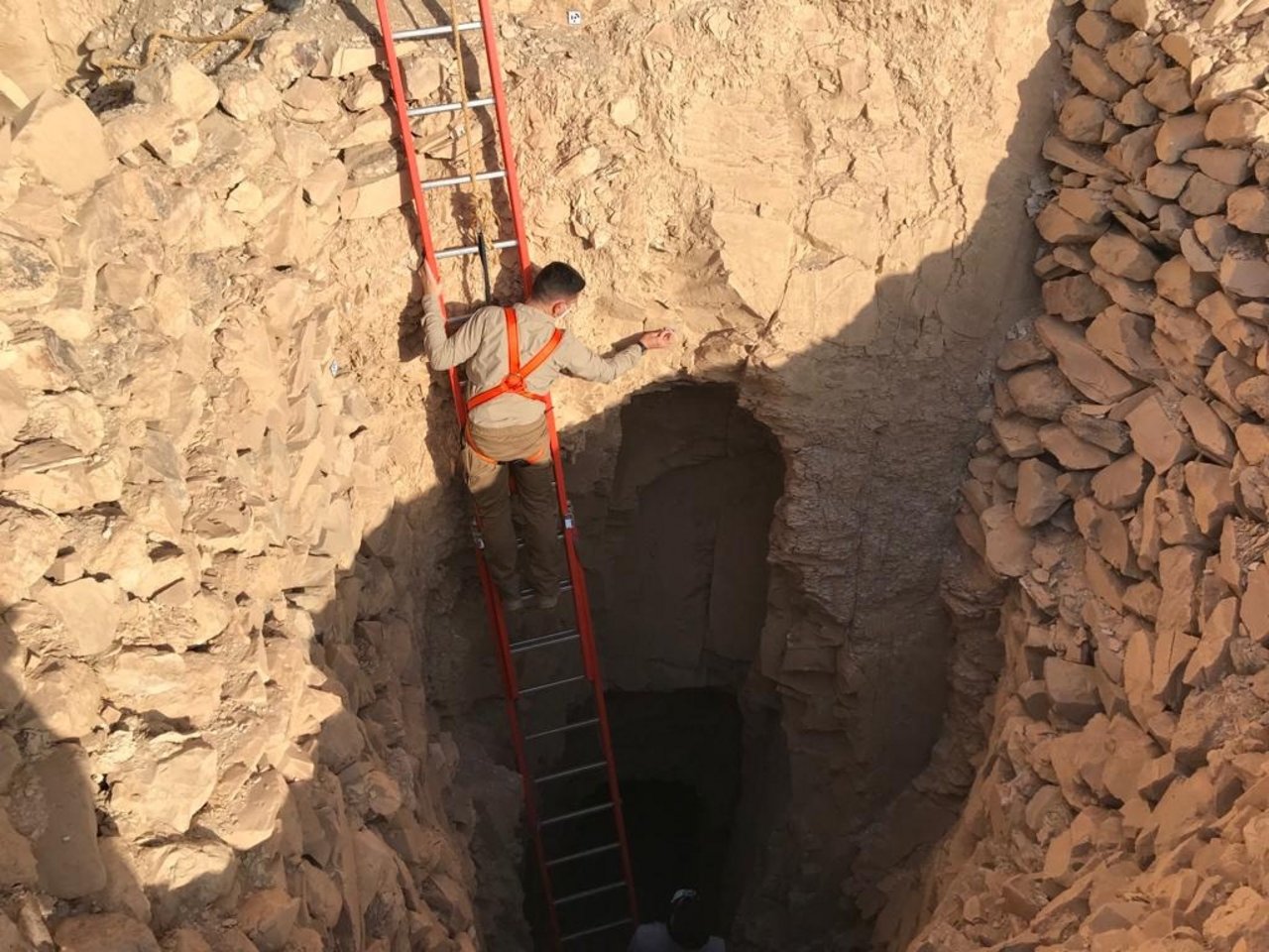
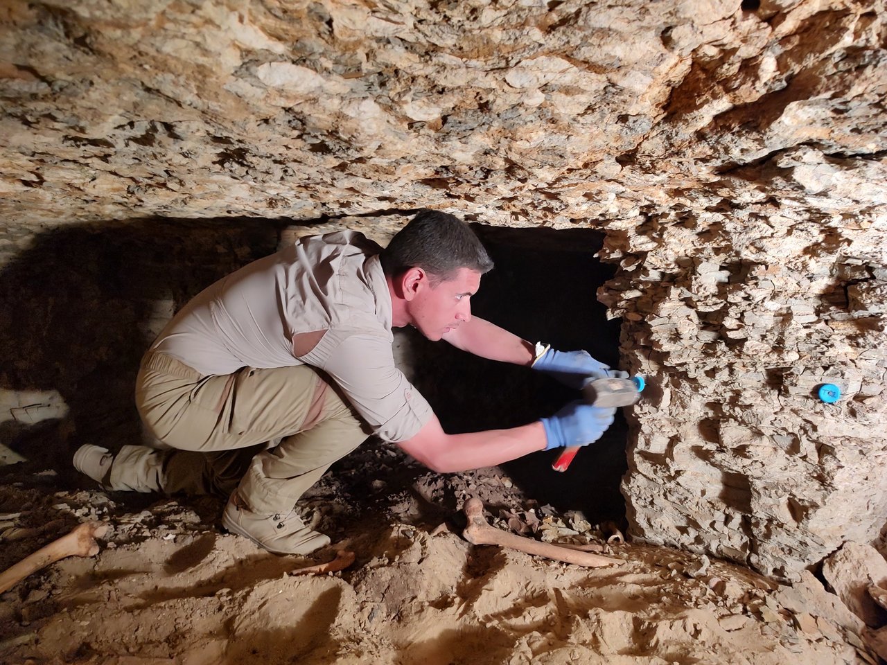
On missions in Egypt, we use photogrammetry mainly at ground level and in underground or very confined environments, such as the Tomb of Kha and Merit. We also work in difficult conditions: wind, dust, high temperatures and very intense light can affect the equipment and the quality of the data. For this reason, we use special lenses and follow very rigorous acquisition geometries, which are essential for obtaining metrically reliable three-dimensional models. For surveying the burial shafts leading to the burial chambers, I built a metal cage to hold the camera, equipped with a flash and a fisheye lens that allows us to photograph a large part of the shaft walls even at close range. The metal structure is lowered, parallel to the walls and also along the four corners, into the shafts by using ropes and photographs are taken remotely using a remote control. We mark the ropes at regular intervals, in order to make sure that the acquisition spacing doesn’t vary excessively between the different descents; in fact, the operation has to be repeated at least eight times for each shaft, reaching as far as 20–25 metres underground!
What is the next step?
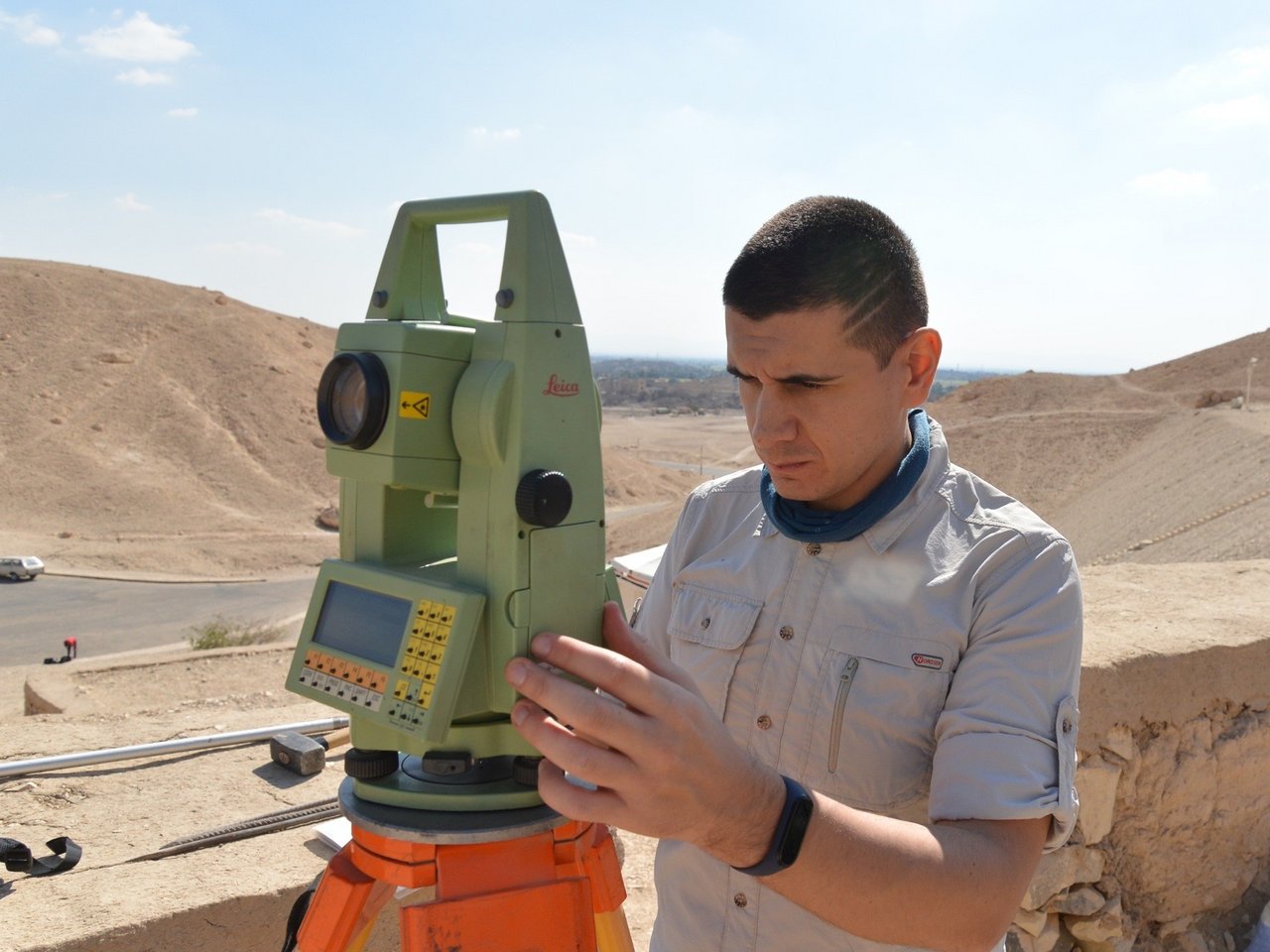
All the images are imported into a photogrammetry software and, through preprocessing, we make sure that all the data collected are sufficient; otherwise, we supplement them with additional photographs. At the same time, on the surface, we use a precision optical instrument, the total station, to take a small number of essential coordinate measurements, and it must remain absolutely stationary. Through its telescope, we measure the centre of several coded markers that we place within the area we’re surveying, and that are also “recorded” in the acquired images. When entered into the photogrammetry software, these measurements provide us with the accuracy of the final three-dimensional model, which for us is acceptable only within the range of one centimetre. The same operation can also be repeated underground, provided there is sufficient space in the subterranean burial chambers. It’s different for shafts that are vertical, narrow and extend for several dozen metres: in this case, we adopted a solution as simple as it is effective, we use bottle caps with a nail in the centre, so that they remain firmly fixed in the rock walls. The coordinates of these “improvised” markers are calculated and checked afterwards and help us understand how far we have reached, so that the following year we can start again from where we left off.

What is the process for reconstructing the rooms in three dimensions from the photographs?
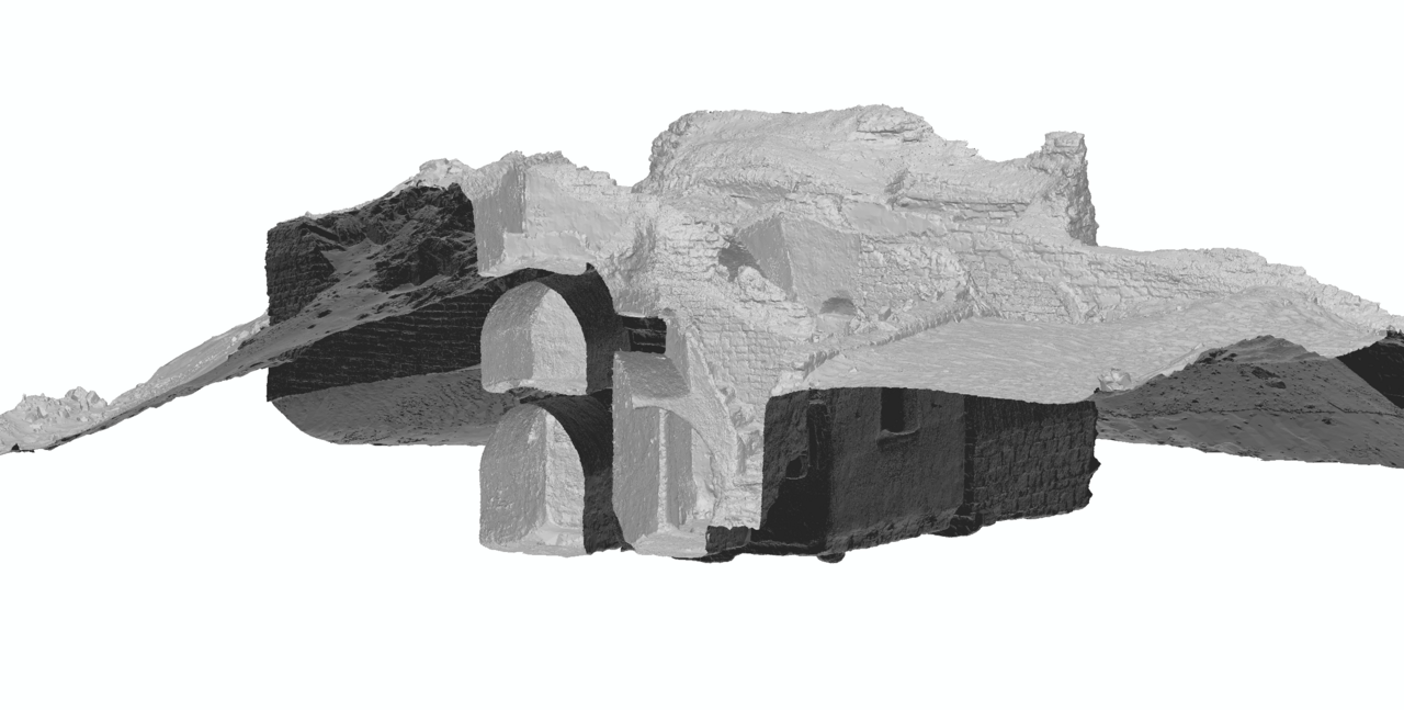
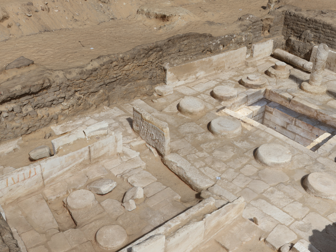
We use a software that’s also very commonly used in architecture and engineering courses, and we make sure that we carry out rigorous numerical checks before building the final model. For this reason, in addition to photogrammetry, we use topographic surveying. Every year we create three-dimensional models of the excavations, linking the new surveys to the topographic network, so that all the models share the same reference system and can be perfectly superimposed. If I open them in the same viewer, I can see how the site has changed over time. This is the added value we offer to Museo Egizio: a digital diary documenting the entire evolution of the excavation, allowing us to go back in time through the different stages. It starts with the site covered in sand, then the first columns emerging, the shafts, the burial chambers, all the way to the complete tomb. As our colleagues at Museo Egizio always remind us, archaeology is unfortunately a destructive science: at Saqqara, for example, the first levels of the excavation corresponded to Coptic culture, but to reach the Pharaonic period it was obviously necessary to remove those layers. They no longer exist physically, but they survive digitally thanks to our three-dimensional models, which allow archaeologists to take measurements, study and verify, preserving the past.
A camera in a “cage”, bottle caps… have you often had to resort to, shall we say, makeshift methods?
Yes, in the field you also have to know how to improvise. During one of the first missions, when we were still camping in the desert, the charging cables for the camera batteries broke: we had some solder, a soldering iron and, in the darkness of the night, with only our head torches, we connected it to the off-road vehicle’s batteries, soldered the cables and managed to finish the job! It is one of the aspects I love about my work: finding solutions in difficult contexts.
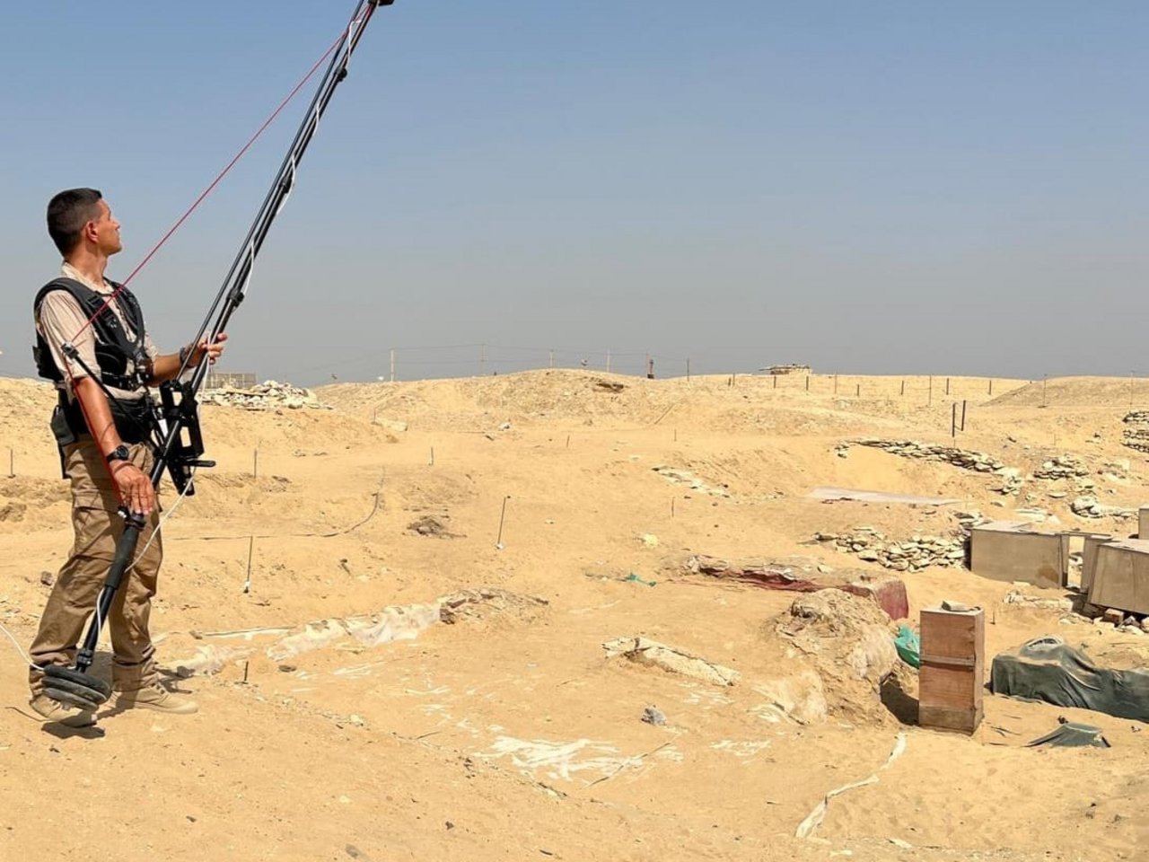
The choice of photogrammetry also stems partly from practical needs. I also specialize in the use of laser scanners, but taking this type of equipment to Egypt can be complicated. In 2014, for example, some instruments were held at customs because they were considered “non-standard”. Another possibility would be to use drones. I obtained my pilot’s licence in 2015 and used them during my PhD for environmental surveys, to reconstruct landslide scarps and monitor cultural heritage. In Egypt, however, the use of drones is prohibited for security reasons. So we found an alternative solution: we pretend to be drones ourselves! We use a photographic pole more than four metres high, with a professional camera mounted on top. We have to take more photographs than would be necessary with a drone, but we obtain images with very high resolution and accuracy. This is particularly important at the end of the mission, when we carefully document the situation reached, before covering the excavation back up. Those images will provide the starting point for the following year.
You mentioned covering the excavation back up… what happens during an excavation? How does it work?
At the end of an excavation, an operation known as backfilling is carried out. To preserve the site, the shafts are closed, sheets are placed over the layer that has been reached and everything is covered with sand. The following year, work resumes more or less where it left off: this is why the missions are so long, lasting from four to six weeks. There are a great many activities and they often cannot proceed in parallel. The final week is the most important: before closing the site, we have to make sure that all the documentation for the digital diary is complete.
During the missions we also work alongside other experts: at Umm al-Dabadib, in addition to me, Professor Corinna Rossi and Clementina Caputo, we are joined by two archaeologists, Stefania Alfarano and Cesare Iezzi, and Nicoletta De Troia, an expert in social and cultural relations in Late Antique and Early Medieval Egypt.
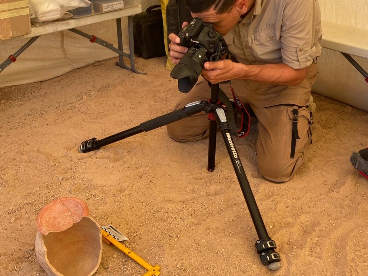
At Saqqara, for example, the team consists of around twenty experts, including ceramic experts, illustrators, Egyptologists, archaeologists and anthropologists. Every single find is recorded and catalogued under the supervision of the Egyptian Antiquities Inspector, who accompanies us on every mission. Everything is then transported to a storeroom. At this stage, I often work alongside the excavation illustrators, who mainly draw ceramic objects or worked stone fragments, including hieroglyphic inscriptions. To support them, I carry out three-dimensional surveys of the inscribed surfaces, and from the three-dimensional model I can produce an ultra-high-resolution orthophoto, which can subsequently be traced using photo-editing software. The added value is the objectivity of the data, which are not affected by the illustrator’s interpretation or personal technique.
What does an orthophoto of an artefact consist of, and how does it differ from a standard photograph?
A normal photograph is, by definition, a perspective representation; depending on the lens used, there’s always a certain degree of distortion, so it cannot provide metric information. An orthophoto, on the other hand, is an orthogonal projection generated from a three-dimensional model. In this way, any part of the image can be measured and is free from distortion both at the centre and at the edges. When it comes to objects, having a 3D model of, for example, a jar clearly allows me to automatically extract profiles and sections at any position, greatly speeding up the work of illustrators, who instead produce a limited number of drawings, which may in any case potentially be influenced by subjective interpretations.


Is artificial intelligence helpful in your work?
Yes, and it could become increasingly so. One initial area of application concerns the organization of archaeological databases. Over time, different cataloguing systems have been used, and the same type of find may be recorded under different names. Artificial intelligence can help us identify matches, eliminate overlaps and connect information from different archives. Looking ahead, if we have a large number of three-dimensional models of similar objects, we could also use these tools to rapidly perform statistical analyses and identify relationships between finds discovered in different areas of Egypt, for example by recognizing objects that may have come from the same production area.
…The most spectacular find?
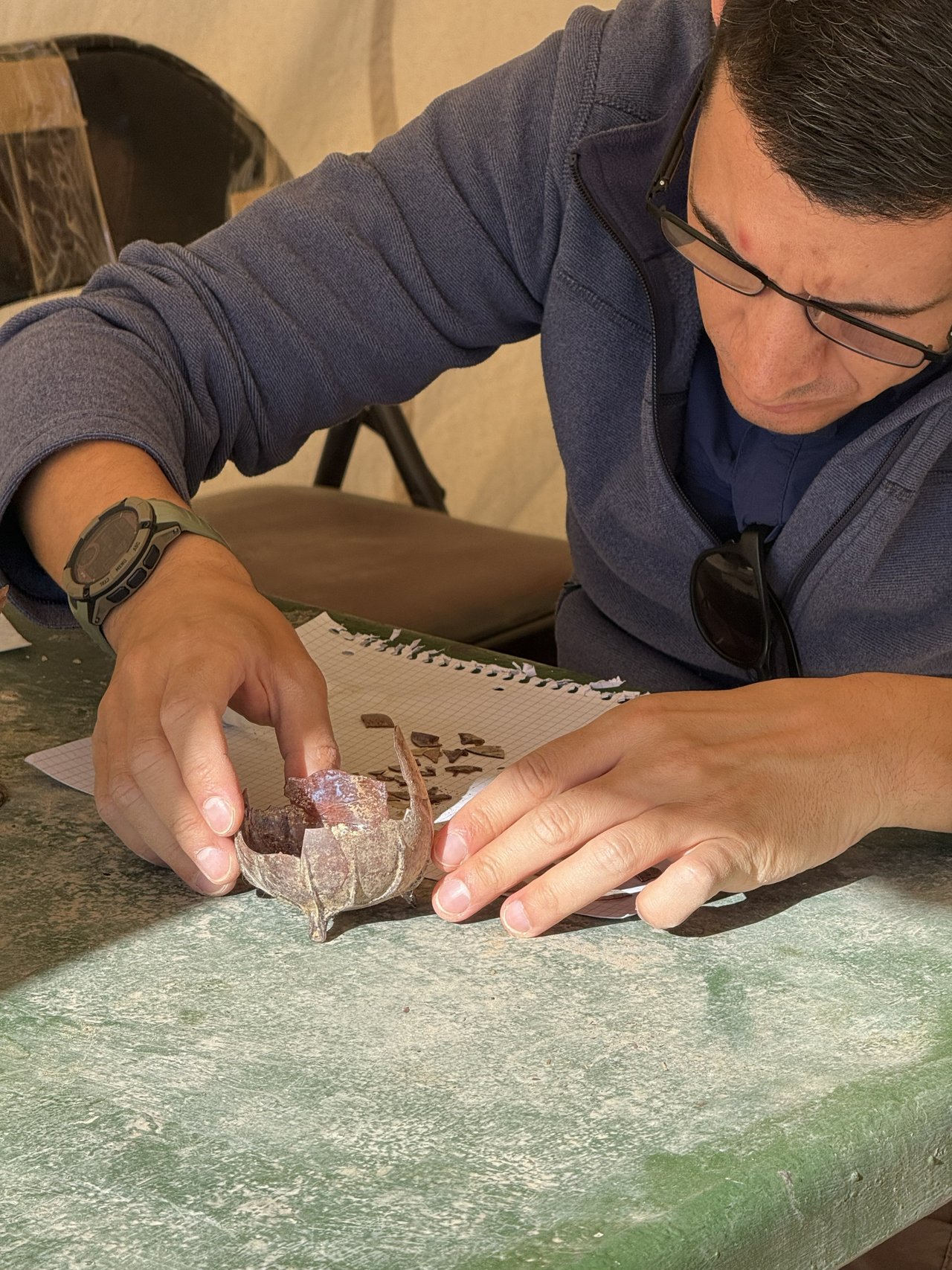
This year, at Umm al-Dabadib, inside a hole in the floor of a house, we found around twenty glass “unguentaria”. None had ever been found before in this part of the desert. I spent entire days putting the fragments back together!
But one of the most curious discoveries was a sort of “little treasure” hidden inside a ceramic container. These vessels were used to hide and bury possessions considered valuable, with the intention of retrieving them later. The site was probably abandoned when the underground aqueducts that made it possible to cultivate vast areas of the desert stopped supplying water, and no one ever returned to retrieve that container. Inside we found bracelets, ivory beads, coins bearing the effigies of various emperors and four ivory gaming dice. When I took the dice to the storeroom to photograph them, I began turning them around to document all six sides. That was when I noticed that on one of the dice the number four appeared twice, while the number three was completely missing. It was a loaded die! It was a very amusing discovery for everyone.
How did this passion for archaeology begin?
Actually, I went… from marble to sand! During and after my PhD years, I spent seven years in Milan Cathedral. Thanks to the dedication and commitment of Professor Cristiana Achille and Professor Francesco Fassi, I had the opportunity to develop professionally and scientifically among the spires of the Duomo. I worked on photogrammetric and laser-scanner surveys and on three-dimensional modelling of the Main Spire and the interior of the cathedral, in support of the restoration work. Being from Milan, it was a great source of pride for me! Over time, however, I increasingly wanted a change, to take on new challenges and bring these technologies into completely different contexts. And so, from Milan Cathedral, I arrived in the Egyptian desert, venturing as far as the borders of the Roman Empire at its greatest extent.

And now? What is the next stop?
We will soon be leaving for Egypt again. From 2 to 30 October, we will be back in Saqqara for a new archaeological mission, during which we’ll continue the work begun in previous years, and document the new phases of the excavation. As every year, we know where we will start from, but we cannot know what we will find beneath the next layer of sand…
Related stories
Beyond true and false: recognising synthetic content in the age of AI
From cloned voices to deepfakes, the challenge is no longer just to distinguish what is true from what is false, but to understand how content has been produced, transformed and used.

Light can perform calculations: photonics and electronics are changing the way data is processed
To make artificial intelligence faster and more sustainable, the future may lie in light. Francesco Morichetti and Francesco Zanetto explain the decisive role of photonic chips in addressing the challenges posed by the growth of data.

Human Creativity and Generative Artificial Intelligence. How Imagination and Algorithms Come Together.
When imagination becomes a hybrid process, between prompts, the model's "personality" and critical thinking.

The Beginning of a New Story
The story of Armando Brandolese, one of the key figures of that pioneering era
Francesco Brioschi: unexpected encounter with the father of Politecnico
An impossible interview with the mathematician who founded a great cultural institution.
You might also like
Building in Balance
Matteo Scagnol and Sandy Attia of MoDus Architects discuss an architecture shaped by the tension between landscape and infrastructure, rules and freedom, materials and climate change.

From circuit to laboratory
The collaboration with the Politecnico as seen by Autodromo Nazionale Monza

Research Takes to the Track at Monza
The agreement between Politecnico di Milano and the Monza National Circuit creates an open-air laboratory for safety, sustainability, materials, mobility and major events.